This is another area of survey work which is becoming popular for UAV surveys. Due to the nature of a culvert, there are a load of potential health and safety issues which are difficult to resolve. This type of survey usually requires highly trained staff to be in the water and confined spaces as well as requiring an extra safety team. By using UAV’s, you are removing the large number of staff required, reducing their interaction with the water and confined space, instantly reducing many risks enabling a safer survey to be carried out.

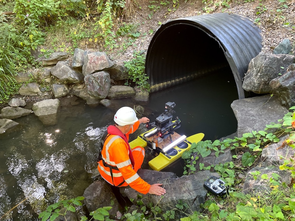
Here is the boat and M300 being used to inspect a culvert. This stopped a team of people having to walk the length of the confined space where the water level is not fully known.
We have found that most culverts we have been asked to survey have not had as in-depth surveys and checks due to the issues with health and safety. Some having not been inspected for years, some missing the original maps and plans, Because of this the client wants to gather as much information as possible to know what future works are needed.
The advancement in drone technologies and working alongside experienced teams we have opened the doors to offer a range of outputs.


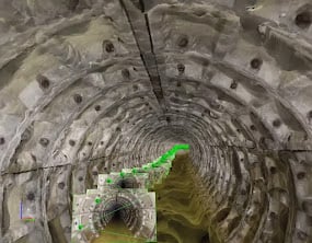
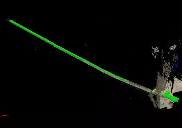
The pictures above show the data gathered using an Elios drone. As you can see the team were able to fly the full length of the culvert which was not big enough for a person to access.
The Elios drone is perfect for this type of survey, the surrounding cage helps it to navigate the tight spaces and bright lights allow the drone pilot to see what is going on clearly as they go via the live feed. Fly thru has carried out various culvert surveys and are able to produce various outputs of data.