Photogrammetry is the process of collecting data that can be used to create a high-resolution 3D model or 3D map. There are various drones out there for the job, they all work to capture data in the same way but are just suitable for different locations and features.
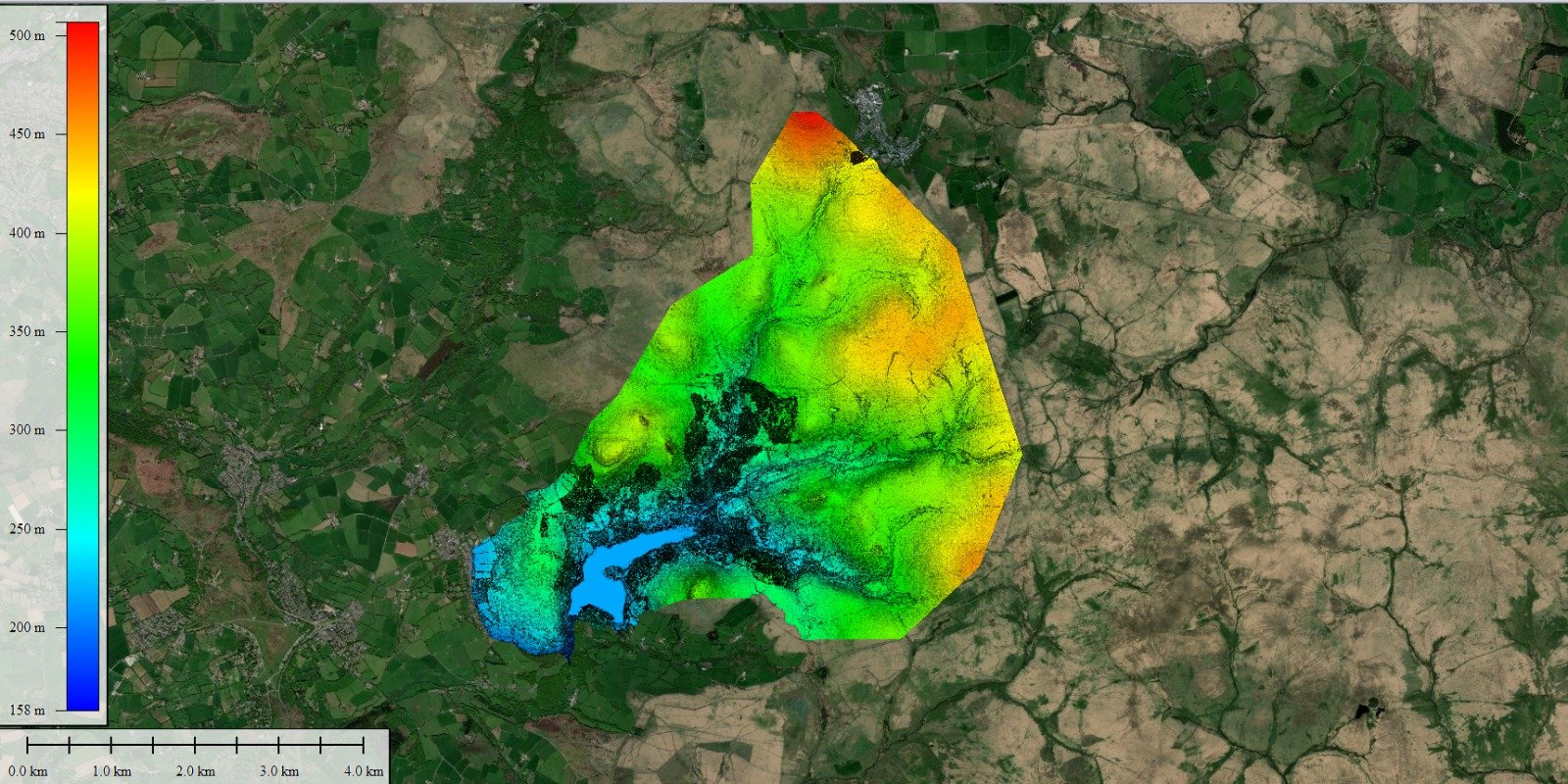
The drone mapping software allows the pilot to select the required area and number of flight passes, this along with ground control points then allows the drone to capture a large number of high-res aerial images. These collected images overlap at the same points in multiple locations. The drone data is then input into the photogrammetry software merged together creating a 3D point cloud. The high-res aerial drone data allows for the output to show textures, shapes colours and height information which is perfect for terrain models.

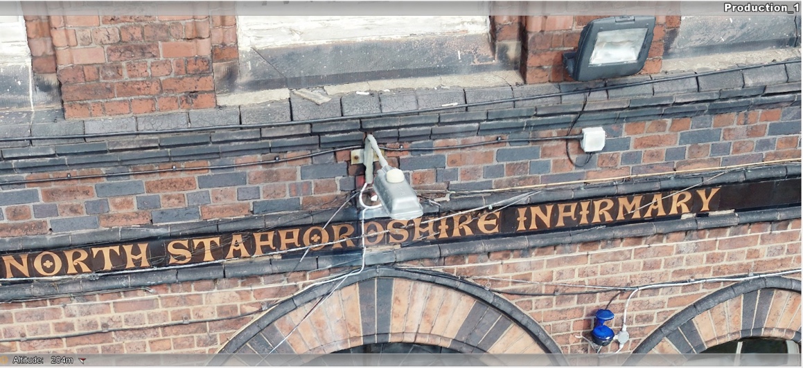
This photo shows the detail captured using photogrammetry- this is a snapshot of a 3D model
FlyThru have a selection of drones to carry out photogrammetry-
Elios – A internal use drone, can be used for photogrammetry in confined spaces and locations not suitable for people to be in. The design allows for use safely at heights, confined spaces with its additional lighting feature it can also be used at distance.
DJI Matrice 300 RTK- this has the advantage of being able to simultaneously do Lidar and photogrammetry, reducing costs and any data capture issues from merging surveys done on different days. The newer technology allows for a longer flight time and can be used by multiple pilots.
DJI Phantom- a compact drone for photogrammetry, the spec of this drone allows for the collection of large data collection and is perfect for use in public spaces. As it is compact is it mostly used for collecting data for 3D models of buildings and other structures.
Twin mapper, Fixed-wing drone- A large drone, with long flight times is perfect for large area mapping.
