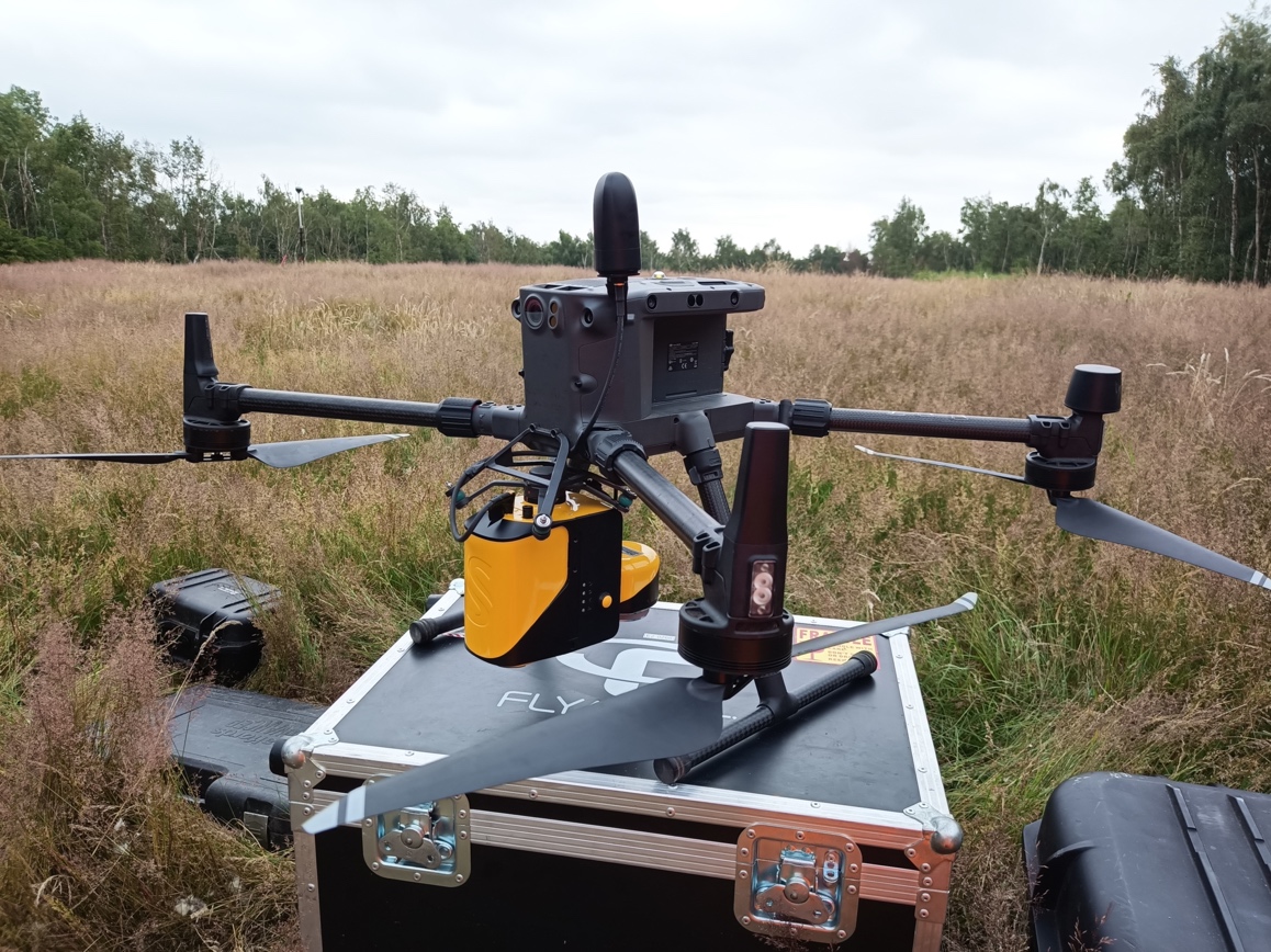
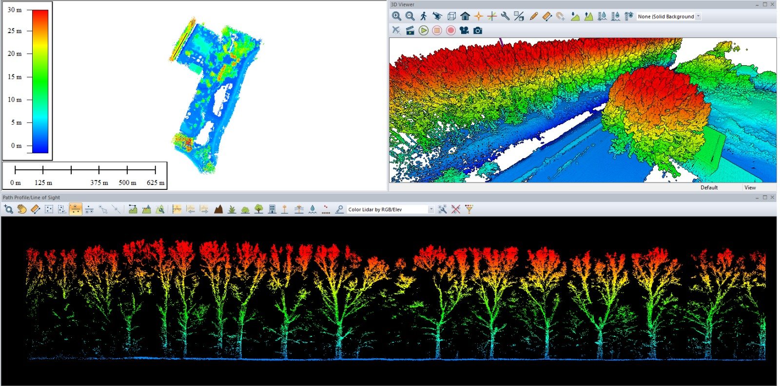
What is Lidar? Lidar is an acronym for “light detection and ranging.” This means using light waves (lasers) to collect data. The light pulses as they are called bounce of surrounding objects, the lidar sensors notes the time it takes or each of the pulses to return and then calculates the difference. The end result is a precise 3D model of the area surveyed. LiDAR is a method of remote sensing, obtaining measurements without physical contact.

Lidar has the advantage over other survey types as it is an active sensor, thus low light levels are not an issue and flights can happen any time of day. One of the main advantages of LiDAR is the ability to take measurements through vegetation, this means it is possible to take accurate measurements of ground-level below forests etc. The lidar data collected is used to create a DTM (Digital Terrain Model) or DEM (Digital Elevation Model) these are highly accurate and can be used to make precise maps.
A LiDAR survey can be used to conduct large scale surveys without the necessity of removing vegetation and thus protecting wildlife habitat from unnecessary destruction.
Survey applications
- Construction and maintenance monitoring of roads and other assets.
- Geological surveys- accurate land mapping, very useful to monitor ground changes
- Hydrographic surveys
- Forestry management – tree growth, changes to canopy
- Railways- assessing asset health.

Drones are a much cheaper solution to surveying over the traditional forms of helicopter use, advances in technologies allow for much longer flight times so the method can be applied to small and large areas.
FlyThru operates two types of LiDAR sensors, both the more traditional rotating head type and also solid-state. Both have advantages in different situations. The latest solid-state systems can be lighter and thus maximise the time of flight which in turn increases the area covered per flight. Making LiDAR a very cost-effective alternative to traditional technologies.