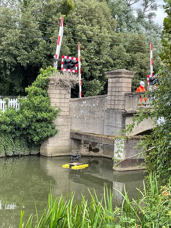
An Unmanned Surface Vehicle (USV) or Autonomous Surface Vehicles (ASV) are vessels that operate on the water surface without any crew on board, they are remotely operated by an operator located on land or onboard another vessel. This keeps the inspectors/ operators away from potential hazards/risks of what they are surveying as well as the ability to not be in the water at all.

USV / ASV’s can be used in various types of water bodies, rivers, canals, lakes, reservoirs, harbours and out at sea. They also have a range of different applications such as Bathymetry, sonar, scour and erosion as well as above and subsurface inspections.
- What is a Bathymetry survey?
Using conventional echo sounders the topography of the submerged invert of a reservoir can be measured in precise detail or, when deployed in combination with a parametric sub-bottom profile, the strata below the invert can be interrogated allowing buried structures such as intakes or pipelines to be located.
Using the sub-surface profile data we can calculate the relationship between the volume of storage at any depth of water to provide a means of monitoring water reserves and the rates of infill and extraction. Understanding the availability of water at all depths provides valuable data that can be used in combination with water quality stratification information to determine the optimum depth from which water can be extracted, its quantity and thus enables a robust water management regime to be established, reviewed and adjusted as parameters change.
- Reservoir Deformation Monitoring
All dams will be liable to some degree of movement over time and it is important to monitor that deflection to ensure it doesn’t introduce serious issues. Movement may occur because of the nature of how the dam was constructed, the geology and ground conditions beneath the dam. Using precision surveying techniques we can install permanent fixed monitoring stations and perform repeat surveys to determine movement and assess any unusual deformation
- 3D Laser Scanning
The laser scanners can be mounted on the vessels to gather data in difficult to access areas. The output is high-definition imagery showing every aspect of a dam, valves, pipework and other details of assets.
Ground-penetrating Radar
- Photogrammetry
Using cameras to photograph key features of an asset as requested or doing a full survey to create a model of the structures.